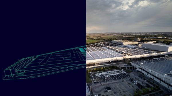
A research team from Heriot-Watt University are working with software developer Linknode to create an app that allows augmented reality (AR) to be used to visualise proposed developments in their real urban environments.
Officially started in April, the £366,313 two-year project to develop UrbanPlanAR has received £256,199 of funding from Innovate UK. The award was made as part of the innovation in location-based services funding call designed to support projects that take advantage of the increasing accuracy, coverage and speed of localisation systems.
Unlike existing architectural visualisation tools, which are either desktop based or work from a fixed location, this app will allow architects, urban planners, contractors, developers or members of the public to walk around a potential development and look at it from all angles.
The aim is that the app will be linked with BIM models, so that accurate designs can be viewed in their intended locations. Its scope includes developing a process to turn BIM models into manageable files that can be used on a mobile device, so that models can be exported from BIM Autodesk 360.
Key to the project is being able to precisely identify the location of the smart device so that the AR visualisation appears in the correct place in the urban environment. Dr Frédéric Bosché and Dr Ludovico Carozza, researchers at Heriot-Watt, are leading the development of the app’s location functionality, while Linknode will connect this with its existing AR interface.
Bosché explains: “At present there is a system that works on a fixed location, we are creating a solutionso that the user can walk around with their mobile device and see both the existing urban environment and the proposed development. This will help people better grasp the impact of the new development.”
Most smart phones and tablets utilise GPS data to determine a general location and have compasses to give a direction. Although this data is used in apps such as Google Maps, the readings from such in-built hardware is not accurate enough to be used for UrbanPlanAR.
“GPS is no-where near accurate enough for this,” says Bosché. “In open countryside current GPS may be able to position you within 5 metres. Urban environments create occlusions and generate GPS signal reflections that further deteriorate the accuracy of both the location and orientation. We need accuracy within a couple of metres and a few degrees.”
UrbanPlanAR will utilise GPS data, along with the internal inertial sensors and information captured by the camera to accurately estimate the device location and display a building.
Bosché continues: “We want to use what is already in a tablet. Each sensor has its strengths and weaknesses, we combine information from all of them. Where one fails the others make up for it.”
The team hope to create a prototype by the end of the year.
At present there is a system that works on a fixed location, we are creating something that you can walk around with and see both the existing urban environment and the proposed development. This will help people to grasp the impact of the new development.– Dr Frédéric Bosché, Heriot-Watt


