


Atkins has been given the green light to start building the National Underground Asset Register (NUAR) for the Geospatial Commission.
The three-year project starts with Atkins building a minimum viable product version of the digital map for the North East, Wales and London. Atkins will then enhance the map and roll it out to the remaining regions in England and to Northern Ireland.
Initially, the Geospatial Commission and Atkins are working with Tees Valley Combined Authority, the Welsh government and the Greater London Authority.
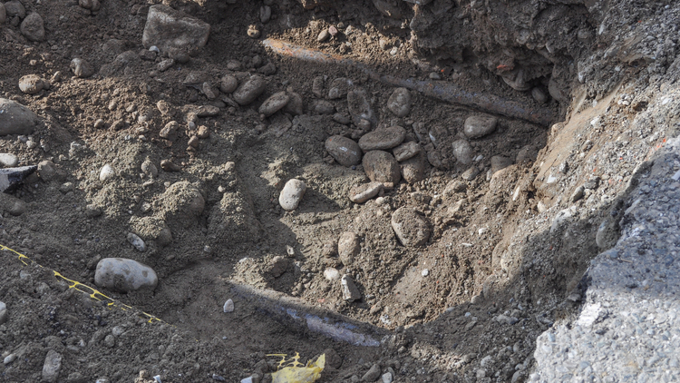
More than four million holes are dug in the UK each year, many in the wrong place, according to a government statement. The economic cost of accidental utility damage is around £2.4bn each year. Unforeseen ground conditions are a major obstacle to all construction and housing projects, especially on previously developed land.
Once operational, the NUAR is expected to deliver around £350m a year in benefits by avoiding accidental asset strikes, improving the efficiency of works and better data sharing.
Nigel Clifford, deputy chair of the Geospatial Commission, said: “Unlocking value from geospatial data is the heart of the UK’s Geospatial Strategy. Our National Underground Asset Register will be a momentous step towards providing the UK with a shared national data asset of significant value. I am proud of the collaboration with industry that we have so far established as part of our preparatory work and look forward to it continuing.”
Ben Houchen, mayor of Tees Valley, said: “I am absolutely delighted that this innovative new map of what lies beneath our feet is being launched and rolled out in Teesside. This new service will mean fewer mistakes are made when digging holes and less disruption to local people. Across Teesside, Darlington and Hartlepool we’re making huge strides; we are transforming northern Europe’s biggest brownfield at Teesworks creating thousands of jobs and transforming our economy to a greener future, and this new map will be incredibly helpful.”
As Scotland already benefits from a similar system, the Scottish Road Works Register, the country is not included in the NUAR’s scope.


