


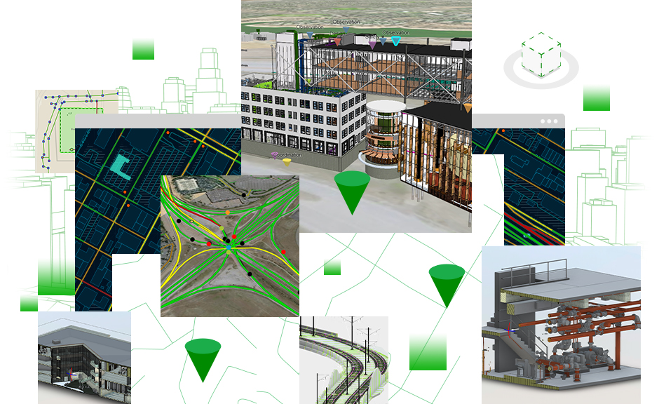
Geographic information system (GIS) software, location intelligence and mapping firm Esri has launched a new product that links GIS with BIM systems and workflows.
ArcGIS GeoBIM connects to Autodesk BIM Collaborate Pro, a cloud-based design collaboration, coordination and model co-authoring software built on the Autodesk Construction Cloud.
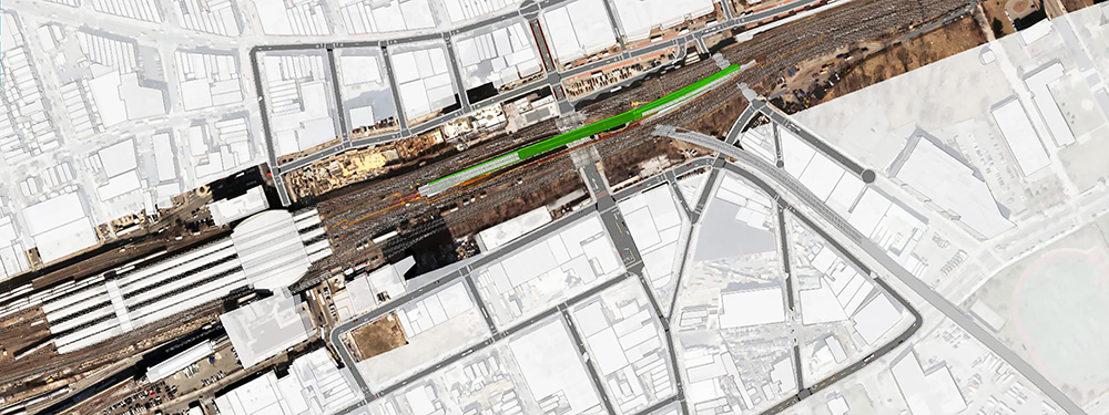
The new product will help AEC teams explore and collaborate using data from multiple systems in a geospatial context. It can provide AEC project leaders and stakeholders with a common view of asset locations, costs, issues, risks and timelines throughout the project.
Autodesk executive vice president of AEC Design Solutions, Amy Bunszel, said: “Autodesk and Esri’s cloud-to-cloud connection gives our shared customers a unified experience and the information they need at their fingertips – regardless of whether it’s BIM or GIS data.
“This will improve efficiency and decision-making during planning, construction and operations. Ultimately, our collaboration will help enable the industry to deliver more sustainable and resilient infrastructure.”
Esri UK head of AEC & BIM, Craig Evenden, said: “With many global initiatives underway to improve construction, design and planning practices it is critical that today’s AEC professionals can collaborate together with a common view of assets in a geospatial context.
“ArcGIS GeoBIM lets teams work on BIM and GIS data in one place, see all their BIM projects on one map, share information with stakeholders more easily and minimises costly data conversion, as they don’t need to keep switching between GIS and BIM systems.”


