EDF has used enterprise GIS from Esri UK to create a geospatial portal for Hinkley Point C nuclear power station.
The portal provides a single view of the entire project. In May last year, it had 750 users; that number has grown to more than 1,500 users.
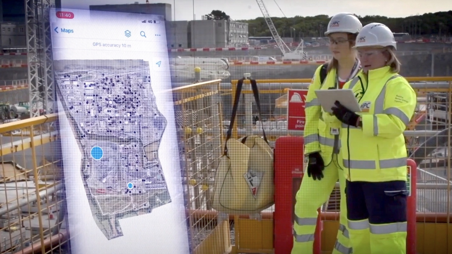
The GIS portal is a central source of all spatial data, maps, apps and dashboards. It combines multiple sources of information and making them accessible to everyone on site. It is hosted in EDF’s Microsoft Azure cloud. An interactive primary site map contains more than 100 different data layers, from BIM models and CAD data, including Revit models, to construction operations, temporary works, utilities, logistics and emergency preparedness.
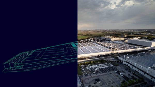
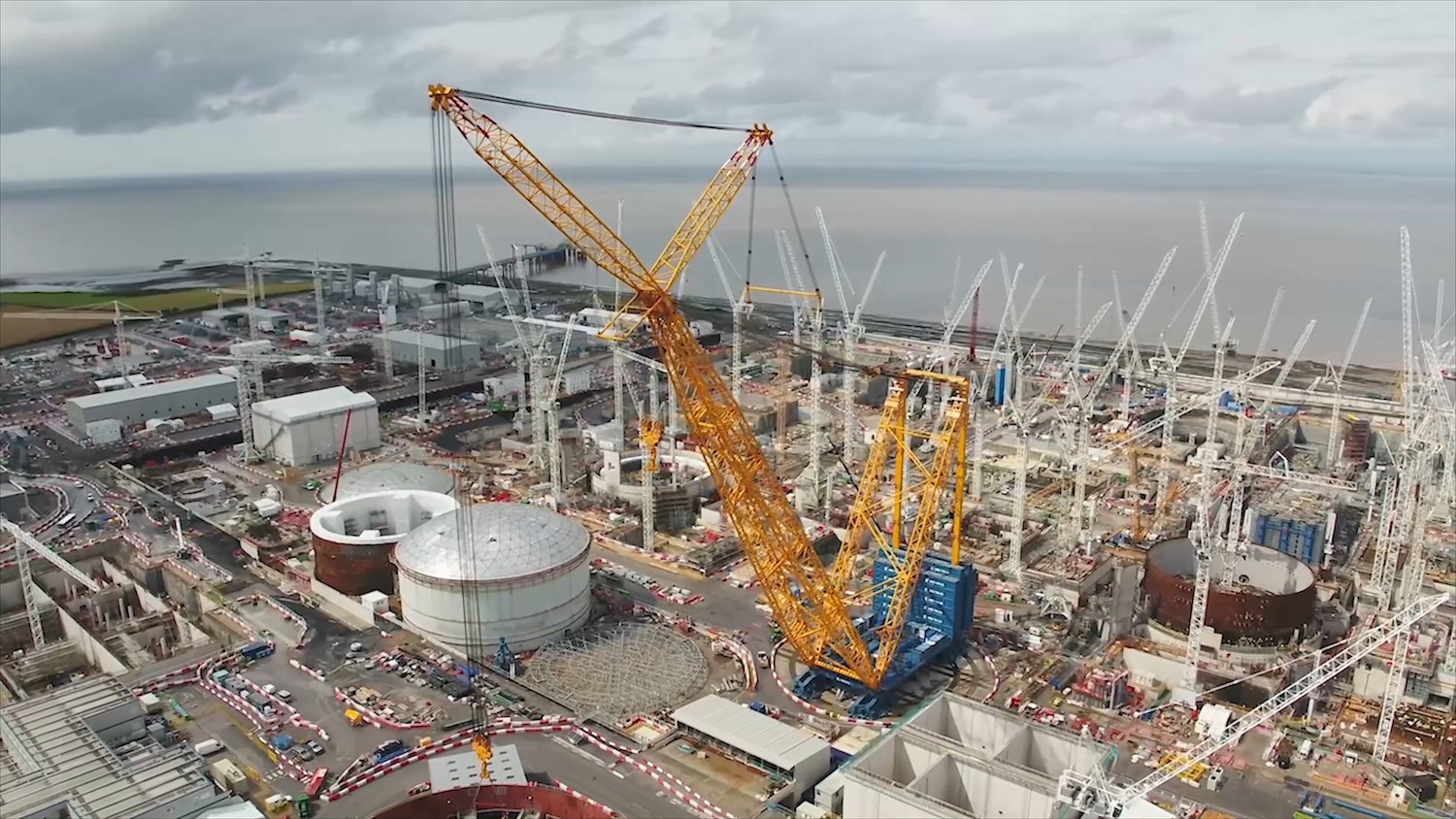
Hinkley is currently one of Europe’s largest construction projects with 8,000 workers on the 450-acre site. It is the UK’s first new nuclear power station to be built since Sizewell B in 1995.
“The scale of the project presents a complex logistical challenge,” said Jon Dolphin, construction project manager and GIS lead at Hinkley. “Clarity of construction data is critical and the GIS portal provides a single view of this, which drives collaboration as people can see where things are happening and when. Every employee or contractor is making decisions based on the same data.
“The confidence this generates makes decision-making faster and strengthens the ability of teams to work more efficiently. As a result, we’ve seen improvements in quality, safety and productivity.”
Starting life as a proof of concept three years ago, the GIS portal first became an enterprise rollout in spring 2021 and has grown since. “Small pilots showed what was possible, helping a wider audience understand the benefits of using GIS on a mega-project,” explained Dolphin. “Users now browse the spatial data, explore applications and enable new digital workflows relevant to them. The number of portal users is growing daily as more people become aware of what GIS has to offer and more use cases emerge.”
Digitising workflows
Esri GIS has allowed Hinkley to replace manual methods when collecting data in the field. One example is emergency planning data, used to provide assurance for regulatory purposes. This is now collected on tablets and appears in real-time in the GIS portal. Managers view and report on it using dashboards, which helps make more informed decisions.
Temporary works teams use similar new digital workflows for planning and inspecting hundreds of simultaneous works. Adding the spatial context means contractor activities do not clash, while physical surveys now take a fraction of the time. Using GIS apps and integrated dashboards for data input and reporting eliminates the need to transfer information into a report when staff return to their desktops.
Mobile GIS
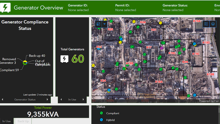
Another example of mobile GIS in action is an app that improves the management of generator permit requests. Hinkley needed to monitor emissions as the site grew and wanted a detailed understanding of generator use. Contractors can now use a mobile app, instead of a spreadsheet, to click on a location and request a generator. A dashboard displays the data so electrical and environmental teams can optimise generator use and reduce emissions across the site.
“The new digital approach has replaced the previous spreadsheet-based system, which lacked auditability and had no spatial context,” said Dolphin.
The portal will see another increase in usage as M&E and HVAC work ramps up this year, to manage permitting and controlling what is being built on site. In this phase contractors will work together on complex cabling, pipework and equipment installation for the power station’s 2,500 rooms.
Future plans include using GIS to track and optimise the use of plant around the site to reduce emissions. And to make transport services more intelligent, by tracking the site’s buses and other vehicles.
“Having one GIS portal for our construction data is immensely powerful for breaking down communication barriers, getting everyone on the same page and improving collaboration,” concluded Dolphin. “The use of Esri GIS at Hinkley was a cultural shift for many people. But new digital approaches soon become indispensable when working on such complex engineering projects.”
Don’t miss out on BIM and digital construction news: sign up to receive the BIMplus newsletter.