


Mobile mapping is set to the become the norm for the built environment sector, according to a new state of the nation survey from NavVis.
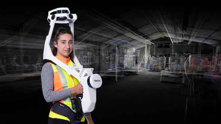
The State of Mobile Mapping Survey, produced in conjunction with BIM+, GEO Week News, Lidar News and GIM International, revealed that 39% of respondents own and operate a handheld mobile mapping system, while 21% are planning to invest in such technology the next 12 months. Furthermore, 28% own and operate a backpack mobile mapping system, and 23% are looking to invest in the next 12 months.
A total of 152 respondents worldwide took part in the survey. Nearly two thirds (60%) described themselves as laser scanning/surveying experts and more than half (53%) described their employer as a laser scanning or surveying business.
The vast majority of respondents (86%) could see the value of a hybrid workflow, i.e. deploying both mobile mapping and terrestrial scanning devices.
The types of mapping environments most often worked on are topographic and site surveys (53%), followed by residential & office buildings (47%), construction sites (46%), industrial buildings (44%), and road, rail & bridges (44%).
The most common scanning use case by a large margin is as-built documentation, represented by 3D or BIM at (72%) and 2D with (54%). Next came construction verification (47%), and clash detection for new design versus existing structures (34%).
The types of mapping environments most often worked on are topographic and site surveys (53%), followed by residential & office buildings (47%), construction sites (46%), industrial buildings (44%), and road, rail & bridges (44%).
“The work doesn’t stop here. The goal is to conduct a survey on a regular basis – over time we’ll be able to track the growth and development of this fledgling industry as a service to everyone engaged in it.”
The most common scanning use case by a large margin is as-built documentation, represented by 3D or BIM at (72%) and 2D (54%). Next came construction verification (47%), and clash detection for new design versus existing structures (34%).
Nearly two thirds of respondents (62%) saw great potential to offer new services to their clients using mobile mapping devices.
Accuracy, speed and integration are key
The top three aspects of mapping that respondents believed to be essential to their business were: point cloud accuracy and high-quality imagery (64%), scanning speed and time spent on site (50%), and a seamless software workflow from scanning to data deliverables (43%).
Participants said that point cloud quality and resolution (76%) was the most important feature of a mobile mapping device, followed by accuracy (71%) and scanning speed (60%).
The survey results suggested there are few concerns that mobile scanners are not accurate enough: just 26% of laser scanning professionals thought that mobile mapping could not achieve their accuracy expectations.
Felix Reinshagen, NavVis CEO and co-founder, said: “We have a clearer picture about the professionals using mobile mapping devices, where they’re located, and the size of their businesses. Plus, we know a lot more about their clients, their use cases, and the deliverables they’re asking for.
“But the work doesn’t stop here. The goal is to conduct a survey like this on a regular basis, and over time we’ll be able to track the growth and development of this fledgling industry as a service to everyone engaged in it.
“We plan to revisit many of these themes, for example the confidence in mobile mapping accuracy or the expansion into new services and document the directions they’ve taken.”
He concluded: “It’s a tremendously exciting time to be working in the laser scanning, surveying and AEC fields. And with our mobile mapping devices and reality capture solutions, NavVis will accompany those professionals on their journey every step of the way.”
Download the report.


