


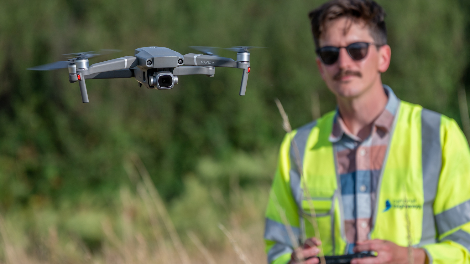
National Highways has adopted a new drone flight management system, which it says will speed up the process for drone operators looking to fly near the agency’s roads and improve safety through better coordination and visibility of flights.
The likes of Network Rail, National Grid and other large companies also use the drone flight management system, so it can help prevent conflict with any other flights taking place nearby.
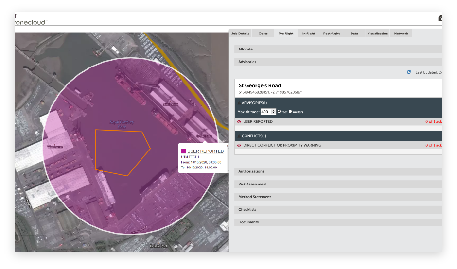
Drone operators looking to fly near National Highways’ motorways and major A-roads will be able to go online to enter their planned flight details. They will then be able to see immediately whether other flights and operations are planned in the area and when.
In the last two years, there have been more than 1,000 notifications and the number of flights is continually increasing, according to the agency.
Jason Glasson, chair of the agency’s drones governance hub, said: “Drones are already used for monitoring construction projects as well as surveying and inspecting assets. Drones allow the industry to gather new and richer asset information while minimising risks to workers and road users. They also reduce disruption for drivers as few road closures are required for these activities.
“With usage increasing, we needed to develop a more joined-up approach to appropriately coordinate drone activities near our network.
“Our safety risk governance approach for all drone operations, supported by this new flight management system, will help us safely plan, coordinate and record our increasing drone operations while maintaining safety for our workforce and people living near to the road network.”
Online system not paperwork
Currently, drone operators must contact National Highways to supply the necessary paperwork, such as risk assessments, and have their request accepted. They then notify National Highways ahead of any flights and the business carries out checks to ensure there are no conflicts.
Under the new system, developed by DroneCloud, operators will go online to record their flight details and discover within seconds whether that will cause conflict with other aircraft. The system features details of flights booked with other organisations such as Network Rail.
The system works alongside a new drones standard, GG 954 Drones operations. This replaces the existing policy and contains requirements over and above those defined by the regulator, the Civil Aviation Authority.
It also aligns with the GG 104 – Requirements for safety risk assessment standard that will ensure that the use of drones is safer, or at least as safe as, the existing way of undertaking an activity, whether that be, for example, surveying, construction or asset inspection.
Don’t miss out on BIM and digital construction news: sign up to receive the BIMplus newsletter.


