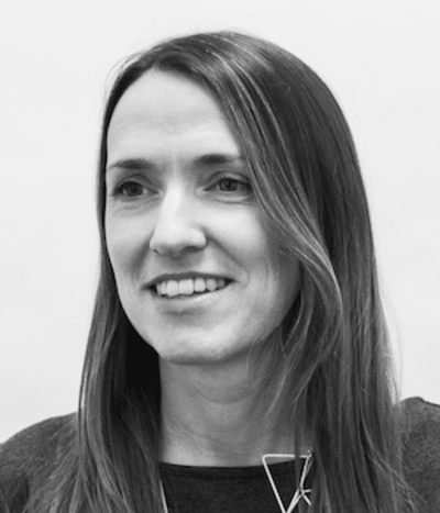
If we put our data in a shareable format, we could move to a world where data and design are integrated above and below ground, and brownfield sites, often viewed as having too many unknowns to be commercially viable, can be transformed into great places to live, work and play. Dr Caroline Paradise, Atkins
Effective use of data sharing can help realise the potential of the development of brownfield sites, according to a recently published report by Atkins. Dr Caroline Paradise digs deeper.
When we set out on our discovery project (https://www.atkinsglobal.com/~/media/Files/A/Atkins-Corporate/uk-and-europe/documents/improving_safety_in_brownfield_development.pdf) with the Open Data Institute (ODI), our team believed there was potential for data to help us unlock the development of brownfield land.
What we found is that critical sources of ground risk are currently often only found in non-open datasets. This fundamental lack of sharing data is holding our industry back, not only in terms of efficiency, but also in how we select sites for development.
Sharing data on what lies beneath the ground can help us unlock sites for the benefit of our communities: it is often the brownfield sites in the heart of our existing towns that we deem too difficult or potentially costly to develop.
Yet, if we put our data in a shareable format, we could move to a world where data and design are integrated above and below ground, and brownfield sites, often viewed as having too many unknowns to be commercially viable, can be transformed into great places to live, work and play.
A ‘hidden’ challenge
Our discovery project showed that one of the biggest challenges we have in the infrastructure industry is connecting data to active information models. A significant amount of our information on projects and sites exists in static or fixed versions that don’t allow data to be an active element of the design process. When data is held in this form, there is additional work required to get it to a point where it can be dynamic and responsive to our design needs.
Often, infrastructure teams gather an enormous amount of data, analysing it to support the production of a report. The data is interpreted, but then saved and stored away and often forgotten once the project is complete.
The discovery project highlighted that most of our data on brownfield land either isn’t shared or is too difficult and time-consuming to use because it’s in the wrong format. The cost of extracting this data can be prohibitive and keeps us from using it to its full extent.
If we structure this data in a shareable format from the outset, we will reap the benefits later on. The more we link our data to dynamic environments, the greater the value we will get from it. We want to move to a place where we have layered data, and can understand every element of our sites, from the buildings to what is underground.
The importance of what is unseen
Vision is our dominant sense, so it’s no surprise that we often focus on what we can see. As built environment professionals that means we often concentrate on what is above ground, the building and its surrounding spaces. There are many professionals entirely dedicated to what is below ground, and the more closely we work together, the better the outcomes will be.
We must recognise that the built environment doesn’t just sit in isolation on the surface. This is obviously particularly true with complex infrastructure projects.
Working towards BIM as BAU has given our industry the impetus to develop more data-rich building models. What is needed is a similar drive to encourage our industry to understand and prioritise the data we have on what’s under the ground and integrate that information more fully into our design development process.
In infrastructure, a significant portion of the building cost is set when the site is selected, with groundworks, foundations and any remediation required. Optimising this site selection process could be the key to more efficient infrastructure delivery. But that won’t happen without sharing data on what lies beneath.
Helping us build communities
Sharing brownfield land data will give us a better handle on optimisation of design and development. It will help us make sustainable development decisions, rather than over-engineering.
Most significantly, it will help clients develop the sites that often get ruled out because of the potential for unknown ground risks. Data can help us unlock these sites, that in a lot of instances are already embedded into our communities, for development instead of simply putting them in the ‘too hard to predict’ category. Doing this can help us sustain existing communities and support smaller developers who can’t afford the risk associated with unknown ground conditions. If we can help them understand what those risks are in greater detail, we might unlock these small and underused sites.
Towards a new standard of data sharing
One of the most valuable aspects of our discovery project was the relationship with the ODI. Their drive to get industries to share data more openly resonates with what the infrastructure industry is discussing more and more.
I believe data has the potential to change our industry, and projects like this can help us see its benefits and feel more comfortable with sharing it. The kind of data integration we talk about in our discovery project could help us move beyond the B in BIM and towards a truly data-rich understanding of our sites and their potential.
Dr Caroline Paradise is head of design research at Atkins.


