


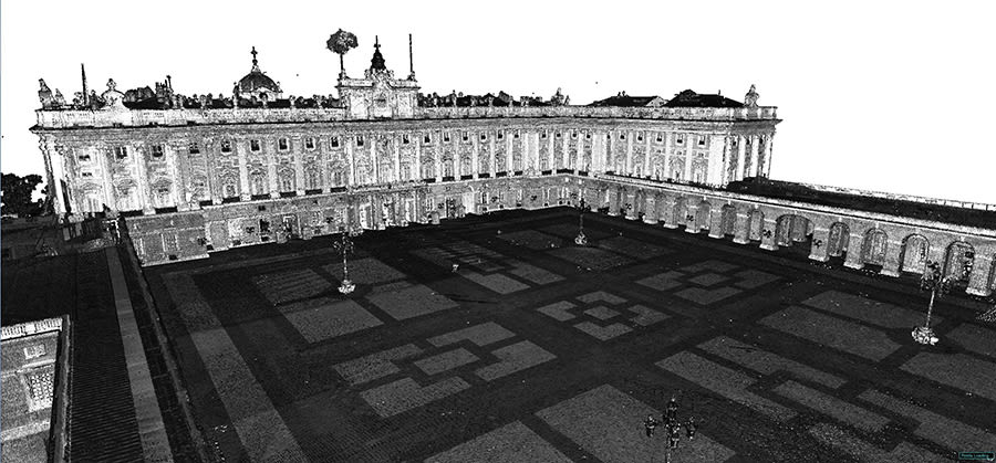
Leica scanning technology has been used to create an accurate 3D model of one of Spain’s most iconic buildings: the Royal Palace in Madrid.
This project, commissioned by the Spanish government, aimed to produce a unified digital record of the current state of both the interior and exterior of the building, adding to existing records which date as far back as 1738.
In doing so, Spain now has a digital replica that would help restore the palace if a similar event were to happen as in Paris with Notre Dame Cathedral – which had also had a digital scanned model.
The project to capture the palace, which attracts more than 1.5 million visitors a year and covers more than 137,500 sq m, began in the summer of 2018. Following a public tender, the project was commissioned to the services department of multi-national surveying services business Grupo ACRE.
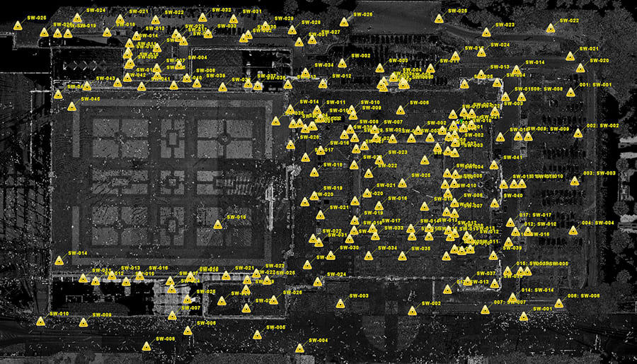
A total of 5,300 scans were taken
The BLK360 is simple to use, especially in small spaces
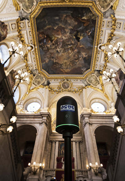
Its proposal included the use of Leica Geosystems’ latest 3D laser scanning technology. To make the 3D model a reality, the Leica ScanStation P40 terrestrial laser scanner was used in partnership with the Leica BLK360, the world’s smallest and easiest to use imaging laser scanner.
Maximum detail in the most confined spaces
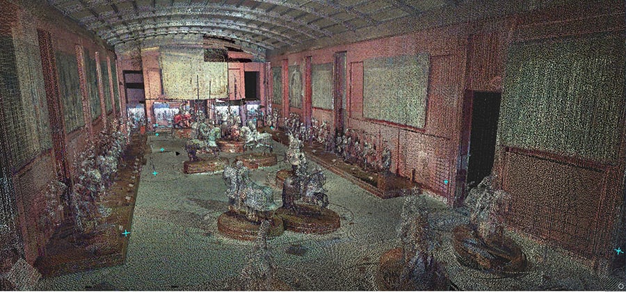
This ambitious project was divided in two phases and specifically designed to guarantee maximum precision and minimum disturbance to the space. In the first phase, onsite scan work was completed with the BLK360 and P40. A total of 5,300 scans were taken, 1,300 of which were captured by the BLK360 with an average of 40 scans per day. During the second phase, the data gathered by both devices was processed using Leica Cyclone software, resulting in the final unified point cloud.
The BLK360 is simple to use, especially in small spaces, meaning the same technician that conducted the larger data collection with the P40 could simultaneously use the BLK360 as a complement to access smaller spaces. “This increased efficiency in our daily data collection by up to 25% compared to using the P40 alone,” said Oscar Gonzalez, technical director at Grupo ACRE.
At a push of a single button, the BLK360 captured 360º HDR spherical imagery and a 360,000 point per second laser scan. This produced very high levels of detail in the most confined spaces within the historic building, including its staircases.
By deploying Leica Geosystems’ scanning technology, data and information that was previously unknown has now been uncovered, such as the exact number of rooms and windows in the 280-year-old building. This had, until now, remained a mystery as spaces were progressively modified and adapted since the initial construction to accommodate the different royal residents over the years.
The government now has a unified and millimetre-accurate floorplan of this historic building, not only to document its history, but also guide its upkeep and preservation in the future.
During the second phase, the data gathered by both devices was processed using Leica Cyclone software, resulting in the final unified point cloud


