


Site scanning specialist NavVis claims its VLX wearable mobile mapping system can scan at a comfortable 600 sq m in six minutes within 6mm accuracy.
NavVis said it has been repeatedly asked “how fast” it could go, so it set out to answer the question in a “plausible and realistic” context.
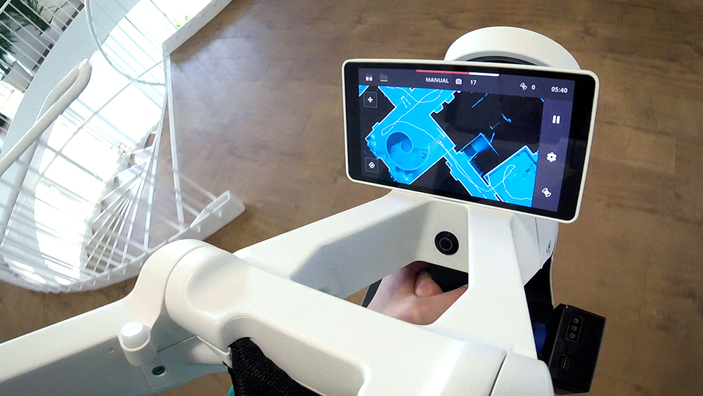
It used as the subject the offices of its HQ in central Munich: a 2D floorplan (or a high-level 3D model) that only required the main area and the walls to be covered.
Not every niche of the room needed to be scanned, only two 360 panoramic images were taken per room, and georegistration or capturing control points were not needed.
Working this way NavVis found “it’s entirely possible” to scan 600 sq m in six minutes to within 6mm level accuracy, with “decent” colouring and detail.
A video of the process can be seen below:
Mapping at this fast pace NavVis said it helped to ensure rooms are accessible and a good trajectory including loop closures are pre-planned.
It was able to judge quality by comparing it with an existing scan using a TLS, with measurements verified with a total station. Taking registrations through the iterative closest point and comparing the deviations between the NavVis VLX point cloud and the TLS point cloud, one sigma of the points is within 6mm.
Navvis put the accuracy of the scan down to its continually improving SLAM algorithm and the way it can “probabilistically fuse the range measurements” using machine learning.
Comparing the results against a previous test, pitting mobile mapping against a terrestrial laser scanner, it said the accuracy of VLX had improved further.


