


A government project mapping underground pipes and cables is steaming ahead.
The first phase of the National Underground Asset Register (NUAR) has launched in North East England, Wales and London.
Backers say once the scheme is completed it could deliver £350m in economic growth each year.
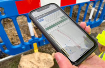
NUAR will be an all-encompassing platform detailing the location and condition of underground pipes and cables. It will make it easier to share this data, reduce the likelihood of lethal utility strikes, and promote maintenance efficiency.
Companies are already required by law to share underground asset information to promote safe digging. But the reality is the information is currently fragmented, not uniform, and difficult to collate.
Chartered Institution of Civil Engineering Surveyors CEO Simon Hamlyn said: “NUAR will certainly improve public welfare and society in general and is without doubt, definitely the right thing to be doing, now and for future generations.”
Participation so far good
Already more than 80 organisations are taking part in phase one, including public and private owners of pipes and cables covering energy, water, telecommunications, transport, and local authorities.
More data is coming in and the Geospatial Commission behind the project encourages everyone in the phase one area to take part. Once fully operational NUAR will cover England, Wales, and Northern Ireland and will include data from 650+ organisations.
Scotland has already been working on a similar system and is in close contact with the Commission.
Geospatial Commission independent commissioner Dr Steve Unger said: “By using the power of location data to plan and deliver street works more effectively, it will improve the efficiency with which we supply essential services and it will minimise the disruption experienced by other road users.”
Atkins has been appointed to deliver the NUAR ‘build phase’ and is working with Ordnance Survey, 1Spatial, GeoPlace and the Greater London Authority. This followed two pilots in North East England and London, between 2019 and 2021.
Accidental strikes cost £2.4bn
The Geospatial Commission is part of the Department for Science, Innovation and Technology (DSIT). Parliamentary under-secretary of state Viscount Camrose promised the underground mapping would help deliver projects like new roads, new houses, and broadband roll-out.
There are an estimated four million kilometres of buried pipes and cables in the UK. A hole is dug every seven seconds to install, fix, or maintain them.
Out of every 65 holes dug, one is an accidental strike, equating to around 60,000 accidental strikes each year. The economic cost is £2.4bn annually, but it also puts workers lives’ at risk and disrupts communities.
Don’t miss out on BIM and digital construction news: sign up to receive the BIMplus newsletter.


