


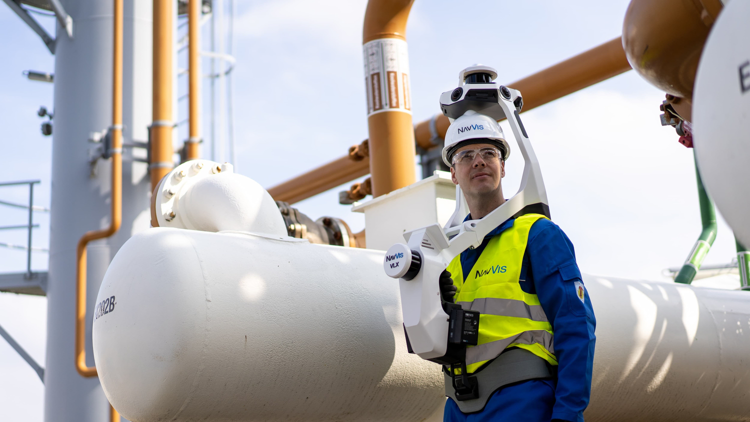
NavVis has launched an improved version of its of VLX mobile mapping system. NavVis VLX 3 is equipped with two 32-layer lidars that have been designed and calibrated for the surveying industry to deliver point clouds with low noise, reduced drift, and high detail at range.
The VLX3 captures 1.2 million points per second.
The VLX3 features an improved simultaneous localisation and mapping algorithm to perform better outdoors and capture the facades of buildings at range.
The system integrates with the NavVis IVION platform for spatial data.
Georg Schroth, chief technology officer and co-founder of NavVis, said: “Our team has worked extremely hard to deliver cutting-edge hardware improvements and enhanced scanning features. We’re confident it will exceed our customers’ expectations and become the go-to tool that you reach for in your scanning toolbox.”
Felix Reinshagen, chief executive and co-founder of NavVis, added: “We’ve always pushed the boundaries of what is possible in dynamic scanning. NavVis VLX3 is our answer to those who have been putting our technology to the test.
“What was once deemed impossible in the fields of surveying and laser scanning are now realities.”
Production of the VLX2 continues. Orders can now be placed for the NavVis VLX3 as well as the VLX2.
Don’t miss out on BIM and digital construction news: sign up to receive the BIMplus newsletter.


