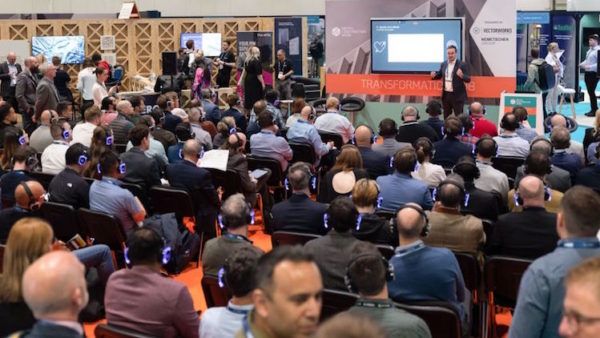
Nick Blenkarn, MD of Seeable, creates interactive apps based on 3D survey models developed during design. He explains to Stephen Cousins the drive to democratise access to data and a recent demo of augmented reality to the Queen.
The Queen tested out a Seeable augmented reality app during a recent visit to the RICS HQ, what did she make of it?
Her Royal Highness viewed a model of the HQ building projected into life on a tablet screen as part of a do to celebrate its 150th anniversary. I thought I was going to get about one to two minutes of her time, but she stayed much longer. She asked why viewing the building in 3D is more relevant than having conventional plans and elevations. Lots of clients don’t ask us questions as pertinent as that and she’s 93!
Why did you set up Seeable?
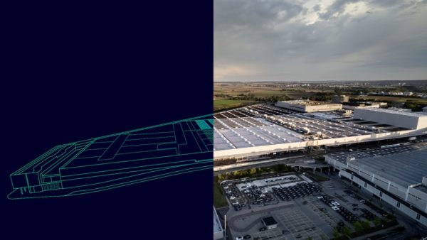
To capitalise on the detailed survey models produced for construction and engineering projects and BIM that don’t get used outside of design, so the value is lost. We are able to recycle that data into apps for use in safety briefings, marketing, or tender information to enable others to understand your site or asset.

Seeable capitalises on the detailed survey models produced for construction and engineering projects and BIM that don’t get used outside of design, so the value is lost. We are able to recycle that data into apps for use in safety briefings, marketing, or tender information.– Nick Blenkarn, Seeable
Another aim is to democratise access to the data: technology has moved on to the point where most high-end consumer grade smartphones and tablets have built in firmware and software able to deliver AR and VR interactive 3D. You no longer need a backpack, a VR helmet and an IT geek on hand, you can simply turn on your phone and jump straight in.
What impact can this tech have on construction projects?
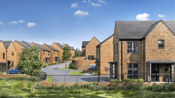
If a local authority is planning a big development it’s beneficial if residents and other stakeholders can see what it’s going to look like. Traditionally, they might produce some static renders, or a video, they might spend £30,000 on physical a scale model in a case that’s only visible to the boardroom staff, heads of the construction team, and maybe a couple of lucky journalists.
For less investment than that they could use the original survey models to create an 3D walkthrough of the development that can be experienced by anyone in VR or on a laptop or phone screen.
What other types of apps do you create?
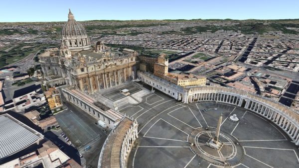
We can take a 3D mesh of a heritage building in its estate, captured by drones, combine that with geometry from a Matterport 3D camera to represent the interiors of the building. We can then remodel that to represent what the original architectural design and landscape would have looked like when the building was built. The client might be an organisation like a university campus or the National Trust Estate.
This model might be experienced by the public online as an interactive 3D walkthrough, or as a virtual tour at the location, for example if a visitor cannot get up a windy staircase to the roof. The same model could be used in a construction briefing or by the designers, if the building is being renovated or refurbished, to avoid the need to physically travel to site, reducing a project’s carbon footprint.
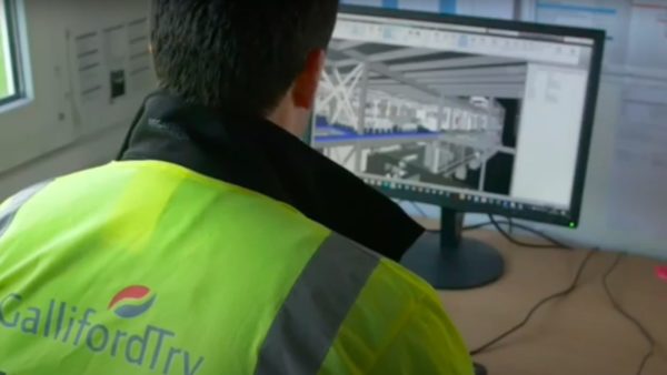
We have developed a tool for a factory that references any accidents and incidents and hazards in a 3D model to help improve safety management. 360o panoramic images were added to allow users to see in photo-realistic detail what the spaces look like.
We also recently created an app with the RICS Matrics team to showcase to children, in interactive 3D on a phone, the functions of different surveying careers, such as a geomatic surveyor or a valuation surveyor. A follow-up project, called Get Kids Into Survey, will use an AR-enabled app to explain the role of a land surveyor.
The kids’ smart phone scans the environment and a geometric surveyor from the future, called Lucy, expands to life size and walks around explaining the job as if she’s right there in front of them.
Technology has moved on, AR can really capture kids’ attention and make them think, “wow, this is an interesting career”.
You are also a director at geomatics surveyors Severn Partnership, where do you see laser surveying tech headed over the next five years?
3D data and visualisation are increasingly merging together. Matterport has launched something called a Cortex engine, which uses machine learning to swiftly convert 360o panoramic images into accurate 3D models. No doubt soon it will be possible to automatically convert panoramic video. Researchers are trying to perfect automatic feature extraction from point clouds to generate 2D and 3D geometry for use in BIM and other software.
A couple of years ago we got very excited about the mobile sensor platform Pegasus 2, which made it possible to set aside the tripod and map a million points per second using an inertial navigation system mounted on either a car or a trolley.
Now we have moved on to train-mounted scanning and the ability to accurately map up to 100-plus miles in one go. The hardware is only one aspect of innovation, software allows you to upload masses of information to the cloud then view and interrogate models online, you can access a whole city’s worth of mobile mapping data in real-time.
Technological advance for both survey and visualisation have moved way faster than procurement, we are delivering reality capture and immersive 3D services that many clients don’t even know are possible so there is huge scope to add value if we get involved.
Main image: A Matterport 3D virtual tour of The Curious Agency in Shrewsbury